
English| EUR
Suggested for you
More currencies
Choose a language
Sydney's pub crawl geography spans three distinct zones—The Rocks' colonial taverns, George Street's high-energy corridor, and Darling Harbour's waterfront venues. This guide maps the tested routes, opening patterns, and district transitions that turn a scattered night into a coherent circuit.
Quick answer
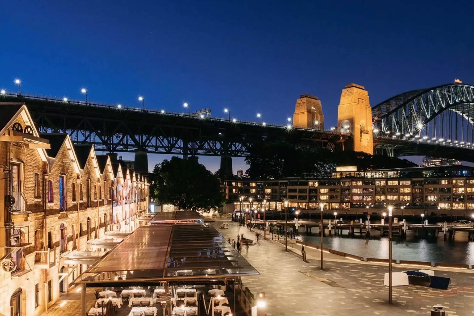
The Rocks district anchors most sydney pub crawl map itineraries, with cobblestone lanes connecting venues within 200-metre walking intervals. Public areas remain accessible daily from midnight to 23:59, though individual venues set their own hours. The optimal arrival window runs 17:00–20:00, capturing happy hour pricing before crowds peak after 21:00.
The Rocks holds the oldest liquor licences in Australia, some dating to the 1840s, and the district's sandstone foundations still dictate the pub crawl rhythm. Venues cluster within three blocks of George Street, making it possible to visit six heritage pubs without crossing a major road. The topography matters: climbing from Circular Quay toward Observatory Hill gains 40 metres, so most crawlers reverse the route, starting high and drifting downhill as the night progresses. A sydney pub crawl map divides into three navigation zones. The Rocks offers intimacy and heritage, with narrow lanes and stone courtyards that feel removed from the glass towers a kilometre south. George Street transitions from colonial to contemporary as you move past Wynyard, with larger venues, louder sound systems, and wider footpaths. Darling Harbour sits west, separated by the Western Distributor—a deliberate detour requiring a ten-minute walk or light rail connection, suited to groups who want a waterfront interval before returning to the core. Timing dictates density. Between 17:00 and 19:00, most venues run happy hour discounts and table service moves quickly. By 20:30 the standing-room threshold arrives, and by 22:00 entry queues form at the dozen venues that anchor weekend traffic. The route you plot should account for this compression: early stops reward conversation and exploration, late stops reward energy and volume. Free entry remains standard across The Rocks and George Street, though some venues enforce cover charges after 23:00 on Friday and Saturday. Practical navigation relies on Circular Quay as the universal anchor. Every train line and most bus routes converge there, and the Quay sits at the eastern edge of The Rocks—a natural starting point. From there, the neighbourhood bar map unfolds in concentric rings: first the waterfront heritage row, then the mid-district taverns along Argyle and Playfair, finally the George Street transition toward Wynyard and Town Hall. A well-designed sydney pub crawl route closes the loop, finishing near the station or ferry wharf that matches your departure direction.
“The Rocks holds the oldest liquor licences in Australia, some dating to the 1840s, and the district's sandstone foundations still dictate the pub crawl rhythm.”
This route suits groups looking to explore The Rocks' heritage pubs in a logical walking loop, typically spanning 4–5 hours from arrival through closing time. The sequence minimizes backtracking while capturing the historic character of Sydney's oldest pub precinct.
Begin at the southern edge of The Rocks on George Street; this heritage venue offers a relaxed entry point with outdoor seating and a wide beer selection. Use the first hour to settle in and orient yourself before the evening picks up.
Walk three minutes uphill to Kent Street to reach Sydney's oldest continually licensed hotel, known for its house-brewed ales. The compact interior fills quickly, so arrive before the dinner rush.
Head east along Lower Fort Street to this sandstone cellar pub dating to 1843; the atmospheric interior and ghost-tour reputation make it a natural mid-crawl anchor. Expect a 10-minute walk and plan for a slightly longer stop.
Return toward George Street and climb the external stairs to The Glenmore's rooftop; the harbour views provide a visual contrast to the earlier cellar venues. Arrive before 21:00 to secure outdoor space.
Walk two minutes south on Cumberland Street to this corner pub, known for its pizza and relaxed closing-hour atmosphere. The route ends where it began, simplifying departure logistics.
Actual costs depend entirely on your personal budget for food and beverages at each individual venue.
Ensure a smooth pub crawl experience through The Rocks by preparing these essentials in advance.
Everything you need to know about sydney pub crawl map
While many visitors enjoy exploring, there is no single official sydney pub crawl map. You are free to navigate the historic area of The Rocks at your own pace while visiting local heritage venues.
It is essential to carry valid photo identification to prove your age for venue entry. Comfortable walking shoes are also recommended for exploring the historic streets found on your sydney pub crawl map.